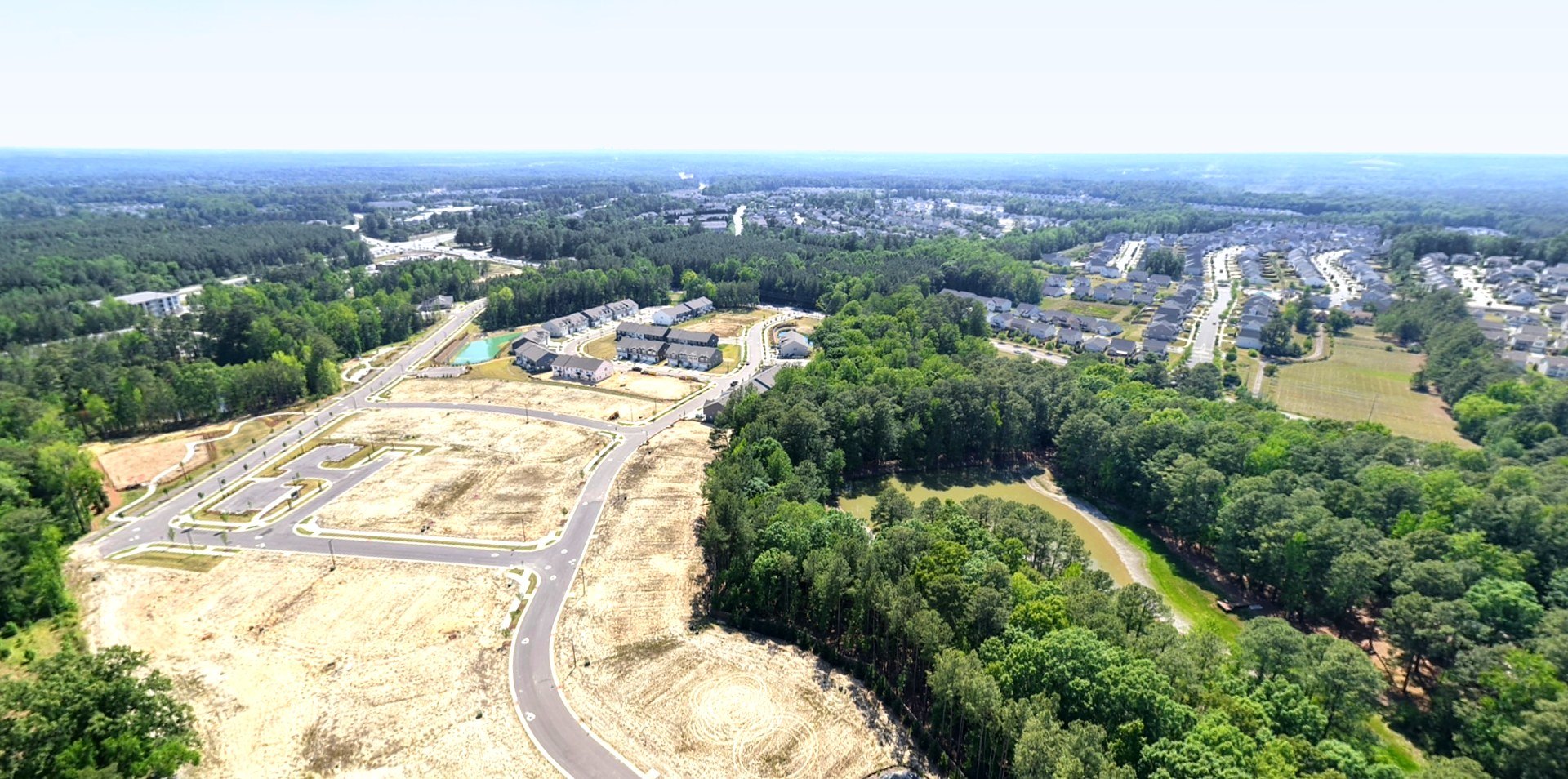
SkyWalk by Skyline Aerial turns your communities, homesites and listings into interactive aerial experiences buyers can explore from anywhere — a marketing asset that works around the clock.
Five real communities, live on this page. Pick one, then click and drag to look anywhere — this is exactly what your buyers receive.
Click & drag to look around • Scroll to zoom • Full-screen control top-right
Every package delivers fully interactive aerial experiences with shareable links and embed codes — ready to drop into your website, listings and presentations.
One interactive aerial perspective — front or rear — for showcasing a listing from its strongest viewpoint.
Front and rear interactive spheres — buyers see the whole property without a site visit.
The complete aerial experience for premium listings — multiple perspectives plus an orbital flyaround.
Every community is different — phase count, acreage, elevations and sales goals all shape the capture plan. Builder packages are scoped and quoted to your specific development, with a proposal in your inbox within 24 hours.
An aerial overview experience that gives buyers the full community picture from above.
A multi-perspective experience with interactive navigation between viewpoints.
A complete, community-wide interactive experience from multiple elevations — a long-term marketing asset.
Scale any community package as your phases release — individual lot aerial spheres are added at a flat per-lot rate, scoped with your proposal.
A buyer opens your community viewer, clicks Lot 12, explores that homesite’s aerial experience and moves toward purchase — your aerial marketing becomes a sales funnel.
Our second flagship offering. A consistent aerial record of every phase — obliques, nadirs, ground-level detail and cinematic fly-throughs — built for owners, lenders, GCs and investors who need to see the build progress without standing on the site. Custom retainers, scoped to your site count, cadence, and deliverables. Request a documentation quote below.
See it in motion — real aerial construction progress documentation, Winston-Salem, NC
Every retainer is scoped to your site. The structures below are common starting points — we quote your exact cadence, site count and deliverables.
Essential recurring documentation for builds that need a dependable visual record.
Weekly documentation plus a monthly interactive aerial update for owner and lender reporting.
The complete package — imagery, video, interactive updates and investor-ready reporting assets.
High-resolution aerial inspection of cell towers, monopoles and vertical infrastructure — close-visual detail of antennas, mounts, cabling and structural components without putting a climber at height. Fast turnaround, repeatable flight paths, and imagery built for carriers, tower owners and maintenance crews.
Aerial tower inspection — close-visual infrastructure documentation, Piedmont Triad, NC
Commercial documentation, construction progress and specialty inspection across the Piedmont Triad — captured in RAW.
Front and rear aerial spheres plus an orbital flyaround of a new construction model home — the Individual Property package in action. Full interactive versions coming soon.
One commercial location documented from the air, the ground and inside the building — the full picture an owner, broker or insurer needs.
A ground-up build documented air and ground across multiple visits in Greensboro.
Close aerial inspection of vertical infrastructure where safe ground access isn’t an option.
Not just a drone operator — a marketing technology partner who has worked the sites he flies.
The work behind SkyWalk is informed by years in construction management, heavy equipment operation, CDL hauling and FEMA disaster response. That background means every capture answers the questions builders, GCs and developers are actually asking — not just what looks good.
We define the experience — which perspectives, how many viewpoints, what your buyers need to see.
On-site drone flight capturing every elevation and perspective, fully Part 107 compliant.
Imagery is stitched into fully interactive aerial experiences ready to embed anywhere.
Shareable links and embed codes in your inbox within 48 hours — ready for buyers.
Beyond the builder market, Skyline serves commercial, industrial and specialty clients across the region.
Scheduled aerial records for facilities, warehouses, retail centers and industrial yards.
Close visual inspection of towers and vertical assets where ground access isn’t an option.
Branded films, property listings, promos and aerial event coverage.
Yes. Skyline Aerial is FAA Part 107 certified for commercial drone operations and is an NC HUB certified vendor. Certificates of insurance are available on request for your vendor onboarding.
Standard delivery is 48 hours from the flight. Proposals are returned within 24 hours of your request. Rush delivery is available — just ask when we scope your project.
You do. Every package includes full usage rights for your marketing — website, listings, presentations, social and print. Interactive experiences come with shareable links and embed codes your team controls.
Based in Winston-Salem, serving the full Piedmont Triad — Greensboro, High Point, and surrounding counties — with regional travel across North Carolina available for community and multi-site engagements.
Each experience is delivered as a link and an embed code. Your web team pastes the embed into any page — same as embedding a video — and buyers can explore right on your site. No plugins, no special hosting on your end.
Tell me about your property or development. You’ll have a tailored proposal in your inbox within 24 hours — no pressure, no runaround.